The Dora River and its bend
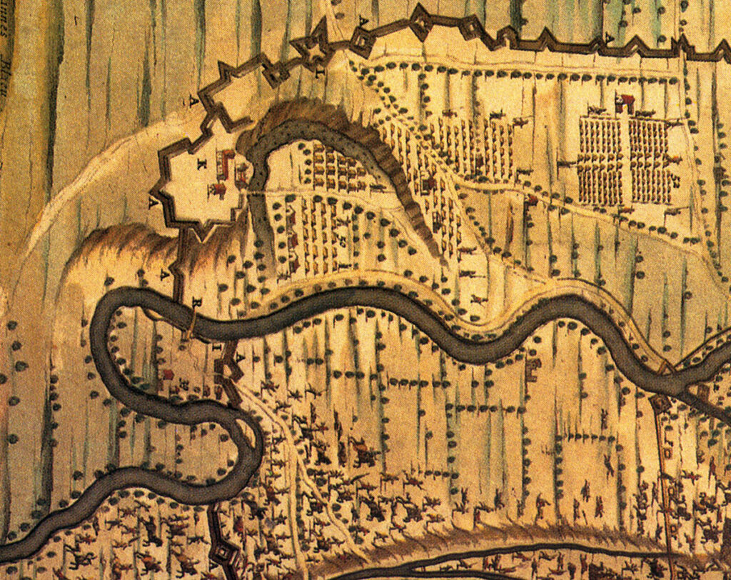
The bed of the Dora Riparia river flows in a wider riverbed that is defined “Basse di Dora” (the lowlands of Dora). The lowlands end in the north in correspondence with Via Verolengo, where the “pianalto” (the highland) starts, that is a higher zone of land over the riverbed. The Dora River has changed its flow over the years, even for the human direct intervention. The big work of artificial deviation that has erased the ancient bed that touched Via Verolengo dates back to 1486. The intervention, made in a period of great transformations of the farming economy in Turin, was necessary to avoid the progressive narrowing of the left bend of the Dora River in the highland, that put the two farmsteads of the Saravello family (Bianchina and Scaravella) at risk, as well as a stretch of the close street and the irrigated canal.